Unprecedented Conditions Sweep Across the Plains
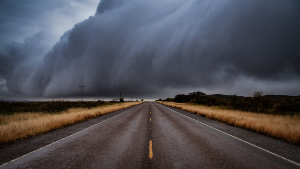
On June 8, 2025, an aggressive wave of severe weather surged across parts of North Texas and Oklahoma, leaving behind extensive damage and significant public safety concerns. Characterized by hurricane-force winds, softball-sized hail, flash flooding, and widespread power outages, the storm system challenged emergency services and disrupted thousands of lives. This marked one of the most dangerous early summer weather events of the year, highlighting the increasing unpredictability of seasonal storms.
Violent Winds Topple Infrastructure
Gusts Rivaling Hurricanes
The June 8 severe weather event was notable for producing wind gusts that exceeded 100 mph in some regions. These gusts are more commonly associated with Category 2 hurricanes than inland thunderstorms. In parts of North Texas, including rural communities and suburbs, wind speeds between 80 and 100 mph brought down large tree limbs, snapped power poles, and peeled roofing from homes and businesses. Traffic signals were knocked offline, and debris littered highways, forcing emergency closures.
Urban Disruption Across Dallas–Fort Worth
In major cities like Dallas and Fort Worth, the storm’s impact was immediate and visible. Entire neighborhoods experienced power loss. Commercial buildings saw signage ripped away, while homes sustained shattered windows and water intrusion. The severe weather exposed structural vulnerabilities in aging infrastructure and underscored the importance of climate-resilient planning.
Giant Hail Slams the Southern Plains
Unusual Hail Size for June
Residents reported hailstones the size of tennis balls, baseballs, and even softballs in parts of Texas and Oklahoma. Vehicles parked outdoors suffered smashed windshields and dented exteriors. Hailstones of this size pose a serious threat to people, pets, livestock, and property. Despite being more common in spring months, this June’s severe weather produced conditions ripe for violent hail, surprising many meteorologists.
Crop and Agricultural Impact
In rural areas, large-scale hail devastated farms. Crops that had just begun to mature for harvest season were shredded in minutes. Barn roofs were perforated, and irrigation systems were battered. For many agricultural communities, this severe weather event will have economic consequences that stretch deep into the growing season.
Flash Flooding Turns Roads Into Rivers
Water Rises Across Low-Lying Areas
Torrential rainfall accompanied the storms, causing flash flooding across urban and rural zones alike. The saturated soil, already weakened by days of intermittent rain, could not absorb the rapid accumulation of precipitation. Parking lots, underpasses, and low-lying residential roads were quickly inundated.
Urban Centers Grapple With Water Emergencies
Downtown Dallas experienced rising waters that stalled cars, flooded basements, and caused drainage systems to overflow. First responders conducted multiple water rescues throughout the evening, as residents underestimated the depth of water and drove through flooded roads. The severe weather overwhelmed the city’s drainage capacity, highlighting infrastructure challenges for densely populated areas.
Tornado Watches and Warnings Issue Across the Region
Atmospheric Conditions Ripe for Rotation
The June 8 outbreak triggered multiple tornado watches and warnings in Oklahoma and North Texas. Although large tornadoes were not confirmed in heavily populated areas, radar-indicated rotation prompted shelter-in-place advisories in several counties. Residents sought refuge in basements, storm shelters, and reinforced interior rooms. The severe weather setup involved high wind shear, warm surface air, and a dryline all contributing to tornado risk.
Tornado Reports and Community Responses
In smaller communities across southern Oklahoma, witnesses described brief touchdowns and funnel clouds. One homeowner recorded footage of a swirling vortex forming in a field behind their property before dissipating. Damage in these areas included twisted metal, felled trees, and barn destruction. These moments reinforced the need for real-time warning systems and citizen preparedness when severe weather hits.
Power Outages Disrupt Daily Life
Grid Struggles to Keep Up
At the storm’s peak, nearly 100,000 customers in North Texas and southern Oklahoma were without electricity. Utility crews scrambled to restore service as trees blocked roadways and lines lay across front lawns. The severe weather impact stretched from the outskirts of Fort Worth to suburban neighborhoods in Plano and Frisco.
Long Recovery Times in Rural Zones
While power in metro areas was restored within 24–48 hours, rural regions endured extended outages due to the distance between downed lines and limited crew availability. This disruption left many without refrigeration, air conditioning, or running water a dangerous prospect given the concurrent heat wave in parts of central Texas.
Scientific Factors Behind the Outbreak
Stalled Front and Gulf Moisture Clash
Meteorologists attributed the outbreak to a stalled cold front interacting with warm, moist air from the Gulf of Mexico. This convergence created the perfect storm for supercell formation. The severe weather system extended hundreds of miles, affecting regions from western Texas through central Oklahoma.
Role of the Dry Line
A critical player in this outbreak was the dry line a boundary separating moist eastern air from dry western air. As the dry line pushed eastward during the day, it served as a trigger for explosive thunderstorm development. When combined with upper-level divergence and surface heating, the atmosphere primed itself for a violent severe weather event.
The Week Ahead: Continued Weather Concerns
No End in Sight
Weather models indicated that the stalled front would persist through the middle of the week, offering little relief to regions already hammered by storms. Forecasters warned of additional rounds of severe weather over the coming days, with threats including hail, high winds, flash floods, and isolated tornadoes.
Multi-Day Impact Outlook
With rainfall totals accumulating over several days, hydrologists monitored rivers and tributaries closely for potential overflow. Even modest additional rainfall could push streams beyond flood stage. Residents near creeks or rivers were advised to prepare for possible evacuations as severe weather risk remained elevated.
Emergency Services and Community Action
First Responders Mobilize Quickly
EMS, fire, and police departments coordinated efforts to respond to weather emergencies. Dozens of high-water rescues were performed using inflatable boats and armored vehicles. Shelters were opened for residents displaced due to uninhabitable homes. In many ways, the community response was a textbook example of disaster readiness during severe weather.
Public Warning Systems Save Lives
City-wide emergency notification systems played a vital role in alerting citizens to impending danger. Text alerts, sirens, and local news warnings gave residents minutes sometimes seconds to react. Officials credited early warnings for minimizing injuries and fatalities, proving the effectiveness of coordinated public safety efforts during severe weather outbreaks.
School Closures and Transportation Challenges
Disruptions to Education and Commutes
With widespread damage and power outages, many school districts canceled classes on June 9. Buses were unable to run due to road debris and impassable streets. Parents faced difficulty finding alternate arrangements, especially in two-income households already stressed by storm-related property damage. The severe weather effects rippled through communities beyond physical destruction.
Airport and Rail Delays
Major transportation hubs such as Dallas/Fort Worth International Airport and Love Field reported delays and cancellations. Flights were grounded during the peak of the storm, with residual delays extending well into Monday morning. Rail transport faced interruptions as debris littered tracks and signals were knocked offline. The travel industry took yet another hit due to severe weather complications.
Long-Term Forecast: Storm Season Isn’t Over
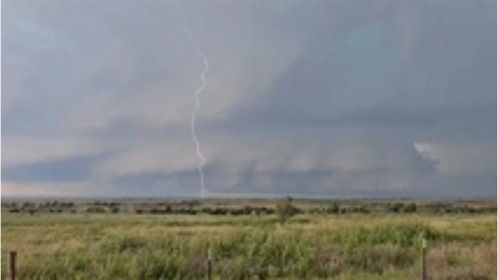
June and July Outlook
Meteorologists emphasized that this may be only the beginning of a longer storm season. With ocean temperatures above average and persistent upper-air patterns favoring instability, the central United States faces a heightened risk of continued severe weather throughout June and into July.
Preparing for What Comes Next
Local governments urged residents to revisit their emergency plans, stock up on essentials, and install weather alert systems. Building resilience against severe weather involves both policy-level decisions and household-level precautions. As the climate continues to evolve, so too must our strategies for enduring and recovering from major storms.
Community Voices: Resilience and Reflection
Stories From Survivors
One resident of East Dallas shared how their home narrowly escaped damage thanks to reinforced windows and a neighborly warning. Another in Norman, Oklahoma, described hiding in a storm shelter with their family while 90-mph winds passed overhead. These firsthand accounts offer perspective and illustrate how deeply severe weather events impact individual lives.
Calls for Infrastructure Investment
Community leaders are now advocating for improved drainage, more robust electrical grids, and dedicated emergency funding. The aftermath of the June 8 outbreak has sparked conversations about long-term resilience. While nature’s fury cannot be controlled, its effects can be mitigated with proactive investment.
Storm Aftermath: Recovery Begins Across Texas and Oklahoma
The severe weather event of June 8, 2025, will be remembered as one of the most significant in recent memory for Texas and Oklahoma. From howling winds and pounding hail to street-swallowing floods and widespread blackouts, the impact was immediate, far-reaching, and deeply felt. As the region assesses the damage and begins recovery, one truth stands clear: preparation, awareness, and collective action remain our strongest defenses against nature’s most unpredictable moments.
In the weeks ahead, residents are strongly encouraged to remain vigilant. Meteorological indicators suggest that conditions conducive to weather updates will persist. While this storm may have passed, the lessons it taught and the lives it affected will continue to resonate long after the skies clear.

